
Follow Newport Beach Street Directory by Address
A useful street directory begins with the street address and ends with several independent clues. Newport Beach GIS can help place the address on a parcel, while the Orange County Assessor gateway connects property information to an APN. The APN is the bridge to the recorded-document index. A deed can identify a legal owner and a prior grantor, but it does not prove who occupies a unit today. Historical directories, planning files, and voter rules add context without turning one source into a household roster.
The strongest order is address, APN, deed, voter or legal-history check, then historical address evidence. Keep the exact spelling, directional, unit mark, tract reference, and locality label at each step. Newport Beach includes distinct places such as Balboa Island, Corona del Mar, Newport Heights, and Newport Coast, so an old volume may use a community name rather than the modern city line.
- Validate the situs address in the assessor-linked property system or city GIS, then copy the APN and note the displayed situs, mailing line, legal description, and map context.
- Use the APN and owner or assessee name to narrow RecorderWorks results. Obtain the deed citation, then order a copy when the legal description or vesting needs confirmation.
- Use California My Voter Status only for the person who is authenticating their own record. A qualified voter-file request is a separate process and is not a public street browse.
- Read city planning, permit, and public-record material by address or application number, while separating an owner, applicant, architect, contractor, and complainant from an occupant.
- Finish with reverse directories, telephone books, census households, maps, or newspapers when the goal is family history or an earlier address trail.
The result is a record chain rather than a claim about a person. An address record is most reliable when each link is labeled by what it can actually establish.
The Newport Beach Street Directory Record Map
Address-keyed records in Newport Beach come from several custodians. The property roll is strongest for parcel identity and displayed ownership. GIS adds geography and planning context. RecorderWorks supplies a party-indexed deed trail, while city case tools can expose a project history. Historical volumes may show a subscriber, business, or household clue at a printed address. None of these sets is a complete current resident directory.
| Record Set | Keeper | What It Shows | Access |
|---|---|---|---|
| Assessment roll | Orange County Assessor | APN, owner or assessee, situs, tax mailing line, values, exemptions | Official web gateway and public counters |
| City parcel and GIS maps | Newport Beach GIS | Parcel geometry, address, planning, zoning, district, association, ZIP, annexation layers | Free map browse and parcel clicks |
| Recorded deeds and liens | Orange County Clerk-Recorder | Grantor, grantee, recording date, document type, instrument or book/page citation | Free index; copies by counter or mail |
| Planning and permit files | Community Development and City Clerk | Application, address, project, dates, and named participants where releasable | Case tools plus CPRA or file request |
| Voter administration | California SOS and Orange County Registrar of Voters | Self-status or approved file fields, not an open street roster | Self lookup or qualified application |
| Reverse directories and maps | Libraries, archives, and the Library of Congress | Older occupants, subscribers, businesses, structures, and street labels | Library, archive, digital, or reading-room access |
The APN is the stable parcel key when a street label shifts. A deed citation is a pointer to a recorded instrument, not an image. A planning result is a project record, not proof that a named applicant lived at the site. Read each row as one piece of the Newport Beach address method.
Note: A tax mailing address can point to a trust, manager, agent, or separate residence, so it should not be treated as a live household address.
Orange County Assessor Fields for Street Research
The Orange County Assessor’s official property-information gateway directs public property data through ParcelQuest. The public landing page does not verify unrestricted owner-name searching, so an address or APN is the safer starting point. The roll and parcel context can show an APN, situs, tax mailing line, assessed land and improvement values, total assessed value, tax-rate area, legal or tract context, transfer or change information, characteristics, and exemption indicators when displayed.
Use the exact APN copied from the official map. An eight-digit Orange County APN is commonly displayed in grouped form on county forms, but the record itself controls. Public service counters are also available at the main office and the Mission Viejo south-county office. Counter help can fill gaps in a web view, though enhanced data may be gated or commercial.
| Field or control | Type | Required | Format or use |
|---|---|---|---|
| Street address | Text or autocomplete | Search-dependent | Normalize number, direction, and suffix for a situs search. |
| APN | Text | No | Strong parcel key; preserve the county’s grouped format. |
| Owner or assessee | Text where available | No | The public gateway does not promise an unrestricted name mode. |
| Map zoom and pan | Map control | No | Browse a street segment and nearby parcels. |
| Identify parcel | Map click | No | Opens an attribute pop-up when the active map supplies one. |
| Layers | Checklist | No | Parcel, planning, zoning, district, association, and thematic layers vary by app. |
| Search | Button | Varies | Runs the address, APN, or map query. |
A homeowners’ exemption can support an owner-occupancy clue, but it does not prove that every named owner lives in every unit. Keep the situs, mailing, and assessed-value fields separate in notes. That discipline prevents a property search from being overstated as a Newport Beach resident lookup.
The Orange County Assessor office provides the public gateway used to begin parcel research. The linked source is useful for checking the official landing page before relying on a map or downstream data view.
The assessor image belongs beside the field distinctions because a parcel record names land and tax relationships, not an entire household.
Newport Beach GIS Layers Along a Street
The City of Newport Beach GIS Map Portal is a free family of address and parcel tools. Search or zoom to a target, keep the parcel layer visible, and select polygons one at a time. Useful layers include planning, zoning, council and community association areas, ZIP boundaries, annexation geography, and other thematic maps. The council or association tool also accepts an exact address or a Mooring ID in the displayed A-### format.
A continuous street browse works best when the map is zoomed close enough to read street labels and parcel edges. Record the APN and address from each selected parcel, then compare adjacent parcels without turning map pop-ups into statements about who lives there. The city map and association search are separate clues. A mapped association identifies an organization area, not a public membership roll.
The Newport Beach GIS portal is the source for the map family and its parcel tools. It is the right place to check a street segment, jurisdiction, association layer, ZIP polygon, or annexation map before moving to a custodian’s record.
Map data is supplied as-is, and the active application controls which layers and identify tools appear. If a layer is absent, preserve the map date and use a City Clerk public-record request for an identifiable case, map, or address record instead of assuming a bulk export exists.
Note: No official public Newport Beach GIS radius-owner export was verified, so nearby parcels must be reviewed individually where the map allows it.
Separate Situs, Mailing, Plat, and Parcel
Four address terms keep an address search honest. The situs address identifies where land or a building is located. The tax mailing address tells where assessment notices go. A legal description identifies the land in the recorded instrument. A parcel is the mapped tax unit tied to an APN, though one parcel can contain several units or a structure with a complex ownership form.
- Parcel
- A mapped tax and land unit identified by an APN. It is not automatically one home or one household.
- Situs address
- The physical location line used to place a site. It can differ from the tax mailing address.
- Plat
- A recorded map that explains lot, block, tract, street, or parcel relationships.
- Criss-cross directory
- An address-first or street-order directory that reverses the usual name index and may show a subscriber, business, or listed household.
These definitions matter in Newport Beach because a mailing line may belong to a trust, manager, or agent, while a legal description can remain stable through an address or community-name change. A plat or tract map can bridge a split, merger, or old lot reference that a name search cannot resolve.
An address trail should therefore carry both the printed address and the parcel identity. The former helps find an old volume; the latter helps compare deeds, maps, and planning files over time.
RecorderWorks Citations Along Newport Beach Streets
RecorderWorks is the Orange County Clerk-Recorder’s Internet grantor-grantee index. It is searchable, but it is not an address directory and the public web search returns citations rather than document images. Begin with the current owner or assessee supplied by the parcel record, search spelling variants, trusts, entities, and spouse names, then narrow the recording date. For documents before 1982, the copy route may require book, page, and instrument information. For 1982-forward records, the citation uses a recording year and six-digit instrument number.
Recorder staff will not perform a search by phone, mail, or in person. Resolve the name and citation online first. The sample index result can show indexed grantor and grantee roles, recording date, document type, and either an instrument number or book/page reference. The citation then travels to the counter or mail request. Copies cost $1 per page plus $1 certification for each document or map. The exact earliest online index year was not verified, so no older cutoff should be assumed.
Orange County official-record copy instructions explain the citation and copy route. A mailed request goes to Orange County Clerk-Recorder, 601 N. Ross Street, Santa Ana, CA 92701, with a self-addressed stamped envelope and check payable to County of Orange. Copy questions go to 714-834-2500, but that number is not a search service.
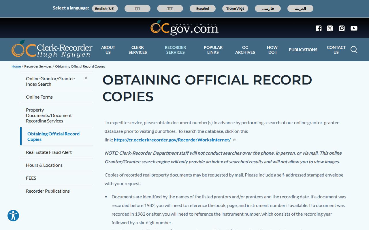
The linked copy instructions place a real deed citation inside the larger address chain: index first, instrument copy second, legal description check third.
Orange County Clerk-Recorder services show the wider office role, including recorded real-property documents, certificates, marriage licenses, fictitious business names, and registrations. That broader catalog helps distinguish a deed record from a certificate or business filing.
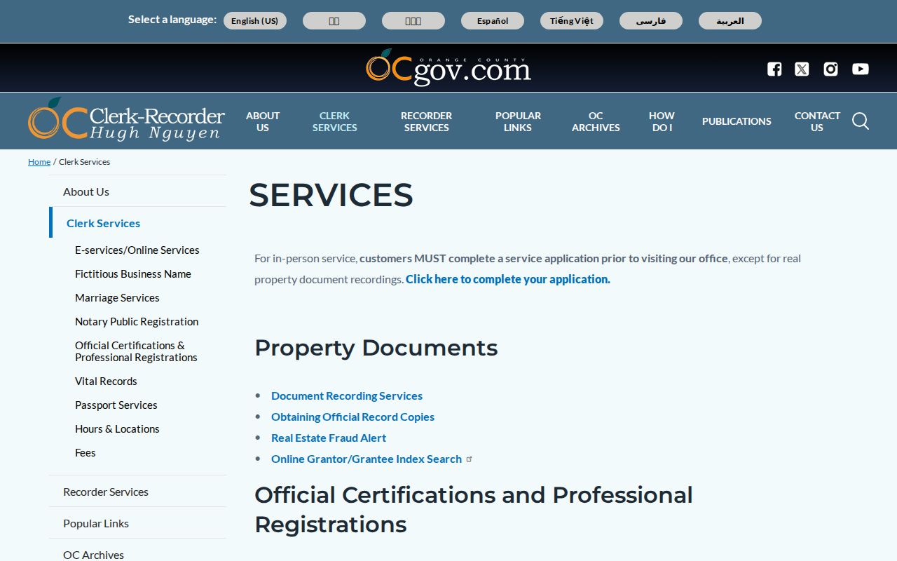
The service view reinforces the access split. A free index can locate a citation, while an official copy is the document used to inspect vesting, legal description, and recorded parties.
Recorder tip. Obtain the document number online before ordering. A deed of trust is a financing instrument, not an ownership transfer, and a release or reconveyance closes a lien.
Read Newport Beach Permit History by Address
City GIS case logs and Community Development tools can connect an address to a planning application, permit number, project context, work type, status, dates, and named participants such as an owner, applicant, architect, or contractor. Search the address first, preserve the application or permit number, and request the underlying public file when the web summary is not enough. A project record can date a physical change without identifying a household.
The Newport Beach City Clerk is the fallback for identifiable council records, correspondence, rosters, historical municipal documents, and nonexempt permit or code material that is not already online. A CPRA request should name the record type, department, date span, address, and case or application number. The California Public Records Act requires records, not answers to broad questions or a newly made list. Privacy, investigation, attorney-client, security, copyright, and other exemptions can limit release.
Newport Beach public-record access is the city route when an address-specific case needs inspection or copies. Active investigation details and complainant-identifying information may be withheld, so never treat a complaint, applicant, or contractor as an occupant.
Building plans also may be limited by copyright, security, or Health and Safety Code rules. A street directory entry should preserve the case number and the narrow fact supported by the released record, rather than repeat an unverified project narrative.
Use Reverse Directories for Older Addresses
Historical reverse or criss-cross directories are the street-by-street layer of a Newport Beach street directory. Telephone books may show a subscriber name, address, and exchange or number. Older city directories can add a listed household, spouse notation, trade or business line, and address. Non-subscribers and some household members may be absent. A printed address is evidence of a listing at that time, not proof of present occupancy.
Newport Beach research should search “Balboa,” “Balboa Island,” “Corona del Mar,” “East Newport,” “Newport Harbor,” and Orange County-wide volumes. Annexation and publisher coverage changed the heading under which an address appears. Photograph or transcribe the title page and abbreviation key, then compare nearby years. A one-year absence can mean a move, death, non-listing, or a gap in the run.
The Newport Beach Public Library Local History Collection and California State Library guide are practical starting points for directory and telephone-book catalogs. The library also supplies local newspaper and genealogy databases, while NARA holdings confirm Orange County volumes that include Newport Beach in selected years. The historical shelf belongs to the directory-book page, but its address method belongs in a street search.
Pair an old address with census households through 1950, deeds, obituaries, newspapers, or a Sanborn sheet. Keep the source and year beside every name so a family-history clue does not become an unsupported current resident claim.
Sanborn’s 1922 Newport Beach Street Snapshot
The Library of Congress holds a public-domain May 1922 Sanborn collection for Newport Beach, Balboa, and East Newport. Its nine sheets show building footprints, use, and street layout. That makes the map a useful test when an old address seems missing from a deed or directory. It can show whether a structure and street label existed in the same local form before later community and municipal changes.
Use the map as a structural check, not as a list of residents. Compare a footprint, lot line, street name, and nearby landmark with a plat, APN, directory entry, or permit chronology. The map can support an address-history argument while leaving names to the records that actually index people or parties.
The Library of Congress Newport Beach Sanborn collection is the source for the nine-sheet map set. Its pre-annexation context is especially useful when a later city label is projected backward onto an older record.
Sanborn is one of the rare street sources that describes the built setting without pretending to be a household roll. It belongs beside, not in place of, the APN and deed chain.
Bridge Newport Beach Address Changes with Maps
Newport Beach incorporated on September 1, 1906. Balboa Island and Newport Heights joined the city in 1917, Corona del Mar in 1924, Irvine Avenue and Bayside Drive in 1927, and further harbor and coastal tracts followed in later decades. These changes affect directory headings, map layers, and which public office holds a record. Older material may identify a community separately from Newport Beach.
Balboa Peninsula uses numbered streets and major boulevards, Balboa Island uses Marine Avenue and island streets, Corona del Mar uses named flower streets and numbered avenues, and mainland tracts follow subdivision patterns. A modern city or ZIP label should not be forced onto a 1920s volume. Use a plat, lot, block, tract, APN, and map landmark to bridge the eras.
The Newport Beach annexation map supplies the chronology needed to interpret older street records. The map is a jurisdiction aid, not a replacement for an official deed or parcel record.
Note: A community name in an older directory can be a jurisdiction clue, not evidence that a street was outside the present Newport Beach boundary.
Limits on a Newport Beach Street Directory
A Newport Beach street directory cannot show every household member, a person omitted from a historical volume, utility or delivery customer data, DMV address information, protected voter addresses, or reliable live presence. A parcel can have several units. A trust or corporate owner can separate the legal owner from the people connected to a building. An association map can show coverage without revealing members.
California My Voter Status authenticates one person’s own registration record with name, birth date, and an identifying number. The fuller voter file is limited to qualified election, scholarly, journalistic, governmental, and political purposes under Elections Code rules. Confidential voters are excluded. For personal research, use the property roll, deed citation, directory, newspaper, or custodian request that actually fits the question.
Lawful use. Newport Beach address records support personal, lawful research only. Using a street directory or public record to stalk, harass, threaten, or harm another person is prohibited and can trigger California criminal or civil consequences.
When a record is wrong, correct the source custodian rather than a downstream search result. The assessor handles roll issues, the recorder has its recorded-document correction and redaction routes, the court handles docket relief, and elections officials handle registration records. A careful street directory ends where the evidence ends.