
Newport Beach Neighbors by Record
A block lookup works by assigning one question to one source. City GIS establishes parcel geometry and nearby boundaries. The assessor connects a parcel to ownership and mailing fields as permitted. The association map names a mapped community organization. Voter information has a separate qualified-access route, and historical reverse directories can reconstruct a street from an earlier period. None of those layers is a complete list of current neighbors.
| Source | What it shows about a block | Access |
|---|---|---|
| City parcel GIS | Parcel geometry, address, APN, street labels, and nearby boundaries | Free map browse and parcel clicks |
| Orange County Assessor | Owner or assessee, situs, tax mailing clue, values, and parcel context | Official gateway, web, or counter |
| Community association map and search | Named association serving an address and mapped extent | Free address or map lookup |
| Planning case map | Nearby applications, project descriptions, and dates | City tools with request fallback |
| Approved voter-file access | Permitted residential, precinct, and history fields for an approved scope | Qualified purpose only |
| Reverse directories | Earlier subscribers or occupants along a street | Library and State Library holdings |
An owner record is not an occupant record. A tax mailing address may point to a trust, manager, agent, or another location. A reverse-directory subscriber may represent one telephone account. Association materials generally point to a board or community contact, not to a public membership roster. The useful result is a carefully labeled clue about the block, not a claim about every household.
Click Newport Beach Parcels in GIS
The City of Newport Beach GIS Map Portal is the starting point for adjacent-parcel research. Search the target address, zoom until parcel boundaries and street labels are clear, and treat each polygon as a separate land unit. The public catalog includes parcel, planning, council, association, ZIP, annexation, and thematic applications, but the active map can change. Map and data are supplied as-is.
- Enter the target street address in the city GIS application and select the matching parcel.
- Keep the parcel layer visible and note the address, APN, map position, and any displayed legal or tract context.
- Zoom to a continuous block segment so touching and nearby polygons can be distinguished from parcels across a road or water feature.
- Click each adjoining or nearby parcel individually and record its parcel identifier before moving to the next one.
- Use the assessor gateway for permitted ownership and mailing fields, keeping owner, situs, and mailing roles separate.
- Use the association tool for organization coverage, and switch to the full Newport Beach street directory workflow when the question expands beyond the immediate block.
A public bulk-radius owner export was not verified. The map method is therefore a parcel-by-parcel inspection, not a one-click list of Newport Beach neighbors. A measure or select tool may exist in a particular application, but it should not be described as a resident search unless the live map and its terms say so.
What a Newport Beach Parcel Proves
A parcel proves land identity and map position. The APN can link the city map to the Orange County assessment roll, parcel maps, recorded deeds, and planning material. The situs address says where the land or building exists. A tax mailing address says where notices go. A legal description identifies the land when a street label or number changes.
The assessment roll can expose an owner or assessee, assessed values, transfer or change data, exemption indicators, and parcel-map context as permitted. A homeowners’ exemption may be supporting owner-occupancy evidence, but it does not show every person at the property. Multiunit parcels, trusts, family entities, and managed properties make the gap wider. Nearby parcels should be described with the exact field and date that produced the clue.
Note: A GIS click can establish that two parcels touch; it cannot establish that the named owner lives there or that every unit shares one household.
Newport Beach Association Lookup
The city’s address-to-association tool answers a civic geography question: which mapped community organization covers an address? Its search accepts an address or a Mooring ID in the displayed A-### format. That harbor detail is distinctive to Newport Beach and matters because a mooring is not a conventional residence address.
Use the Newport Beach council and association lookup after the parcel step. Record the organization name and mapped boundary, then use the organization’s own published contact channel if a board question or neighborhood event is the goal. The tool does not establish who belongs to the association, and a coverage match is not permission to seek a private member list.
For a block around an island or harbor address, retain both the street address and the Mooring ID when both appear. The two identifiers can point to different civic or maritime contexts, so one should not silently replace the other.
Newport Beach’s Association Landscape
Newport Beach’s official community-association map is unusually detailed. It names small organizations as well as broad neighborhood groups, so the correct next contact can depend on a parcel’s exact location. The map is an organization-finding tool, not a resident directory. The examples below are starting points for community context and do not imply that member names or rosters are public.
| Mapped organization example | What the public map can establish | Contact boundary |
|---|---|---|
| Far West Newport Residents Association | Association name and mapped coverage | Use the organization’s own board or public contact channel. |
| Newport Shores Community Association | Community-area context for an address | Member information remains a private association matter. |
| Balboa Island Improvement Association | Island civic organization and boundary context | Public history or events do not disclose a household roster. |
The official community-association map also shows many master, condominium, and neighborhood organizations beyond these examples. A map label helps identify who to ask about a street, meeting, or civic issue. It does not turn a private organization into an open directory of Newport Beach neighbors.
Community Directories and Newport Beach Privacy
Community directories are usually private by design. An association may publish a board, office, event, or maintenance contact while keeping member names and household details behind member authorization. Block-watch, congregation, club, school, and alumni lists work the same way. They are consensual community tools, not sources to scrape or merge into a public neighbors lookup.
The Newport Beach Public Library and local historical organizations can supply community history, photographs, newspapers, and public business or civic roles. The Newport Beach Public Library special collections page describes the Local History Collection and partner materials. These sources can help reconnect a family or understand a neighborhood without exposing private household membership information.
When a directory is offered by a community group, ask what the publication covers, who may access it, and whether a person has consented to contact. A public meeting notice is not a public address list.
Block-Level Newport Beach Voter Access
California My Voter Status is an exact-match self-lookup. It asks for a first name, last name, full date of birth, and a California driver license or identification number or the last four Social Security digits, with alternate checkboxes when a person lacks those identifiers. It returns one’s own registration location and status, party preference, language preference, voting method, polling place, and election information. It is not a way to enter a neighbor’s address.
The broader voter file follows a different route. A qualified applicant submits identity and organization information, requested geographic scope, active or inactive selection, optional history or district data, statutory purpose, intended use, delivery details, certification, signature, and payment. Approved files can include residential and mailing address, precinct, contact, and party fields, but confidential voters are excluded and the information cannot be republished as a casual block directory.
The California voter-file request guidance explains the qualification and exclusion rules.
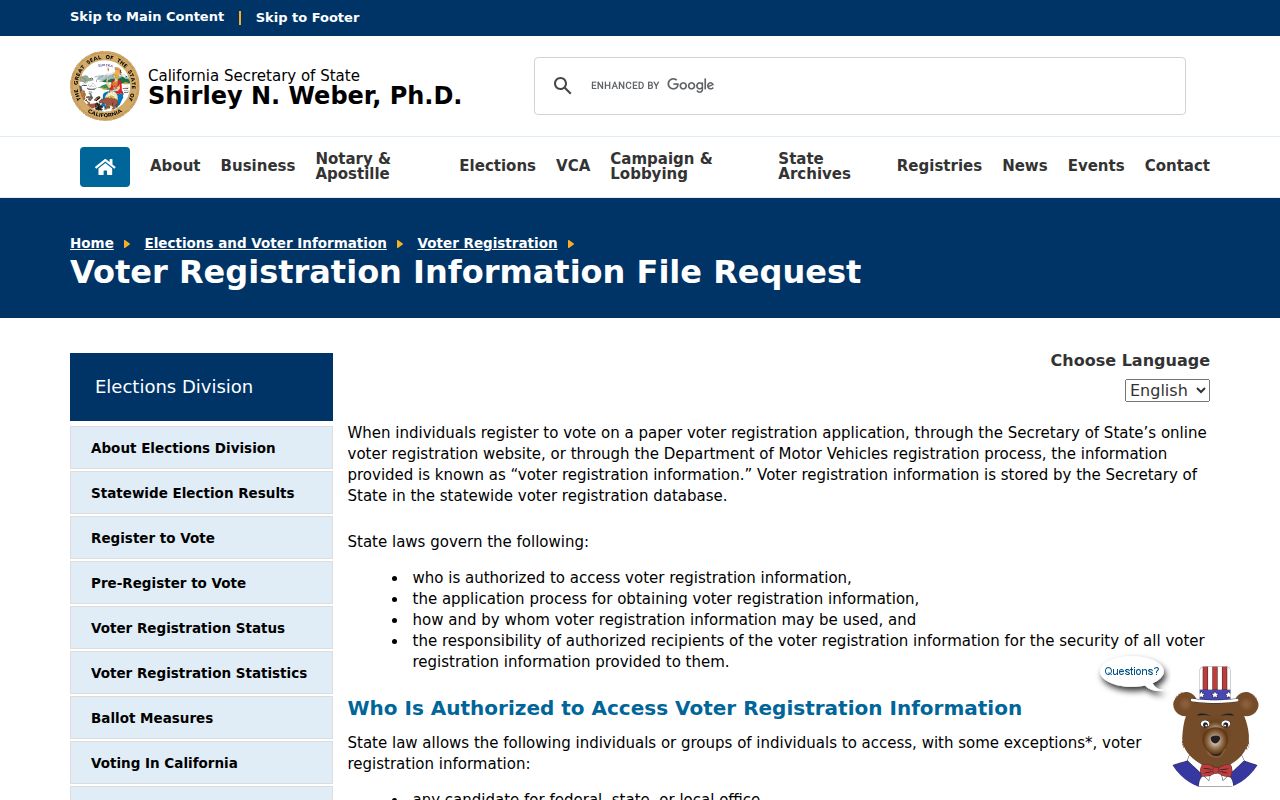
The image belongs with the access rule because it represents a qualified-purpose request path, not a public block search form.
Historical poll books and registration registers should be sought through Orange County Archives or State Archives catalog and reference staff. Voting history can show participation or method, not how anyone voted.
Nearby Newport Beach Planning Cases
Planning cases show how a block changes over time. City GIS and Community Development tools can expose an application number, project address, scope, status, hearing context, and linked documents. A case may name an owner, applicant, architect, or contractor. Those roles explain a physical project, but they do not identify every person who occupied nearby space.
Search the target address and nearby parcels, then save the case or permit number before requesting the underlying public file. The Newport Beach City Clerk public-record route is the fallback when a document is not posted. A focused request should name the address, application or permit number, department, and date span. Active investigations, complainant information, security details, and protected material may be withheld or redacted.
Planning history is especially useful for understanding why a parcel boundary, building footprint, or association context looks different from an older map. It is a change record, not a resident roster.
Historical Newport Beach Block Directories
Reverse and criss-cross directories reconstruct an earlier block from a street address, telephone number, or subscriber name. Newport Beach research materials document samples from 1920 through 2002, including city and telephone books assembled by several publishers. Entries can show a surname, initials, spouse, occupation, address, telephone exchange, or business, but telephone books omit non-subscribers and some household members.
Begin with the locality printed in the volume. Search Newport Beach, Balboa, Balboa Island, East Newport, Corona del Mar, Newport Harbor, and Orange County headings as the date requires. Photograph or transcribe the title page and abbreviation key, then compare adjacent years. The California State Library Newport Beach research guide points researchers to its City Directories and Telephone Books databases, while Newport Beach Public Library staff can confirm local shelf or database access.
For a current block, use GIS and parcel records first. Use historical directories when the question is who appeared at an address during a dated period or how a neighborhood’s businesses and households changed.
Official Records Versus Neighbor Tools
Commercial neighbor tools compile public, marketing, and contributed data into an estimate. Official sources are slower because each custodian keeps a defined record and access rule. The categories can be compared without treating either one as a complete picture of Newport Beach neighbors.
| Category | Strength | Weakness |
|---|---|---|
| City GIS and parcel map | Current geometry, APN, address, and mapped civic layers | Not a household list; a radius-owner export was not verified. |
| Assessment and deed records | Defined parcel, owner or party role, and dated instruments | Ownership, mailing, and notice addresses do not prove occupancy. |
| Association contact | Organization and community context | Membership and household details are private. |
| Compiled neighbor tool | May combine many clues into a quick estimate | Can be stale, merge same-name people, or confuse owners, occupants, and associates. |
For family history or a neighborhood question, start with the source that answers the narrow question and keep the date visible. If the goal is a full named-street chain, move to the street directory workflow. If the goal is association contact, stop at the organization boundary rather than seeking a private roster.
Protected Newport Beach Residents
Some household information is protected or absent by design. California Safe at Home provides a substitute mailing address for eligible survivors and certain reproductive-health workers or patients. Confidential voter provisions exclude protected addresses from otherwise approved voter-file requests. DMV personal information, utility records, delivery data, sealed court material, and many household details are not open block-search fields.
The California Megan’s Law website has its own statutory exclusions and misuse warning.
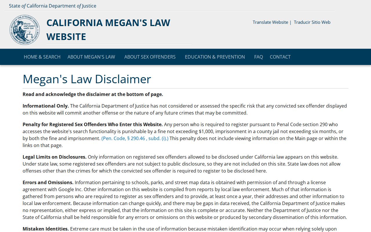
That official registry is not a general list of Newport Beach neighbors and should never be used to bypass a protected address or intensify contact with a person.
Lawful use. Newport Beach neighbors research can support getting to know a block, reconnecting, family history, or personal safety awareness. Using records to stalk, harass, threaten, or intimidate anyone is prohibited.
Newport Beach Consumer Privacy
California privacy guidance gives covered consumers rights to know, delete, correct, limit certain uses of sensitive information, and opt out of sale or sharing, subject to exceptions. The California Attorney General CCPA guidance explains those rights and related limits.
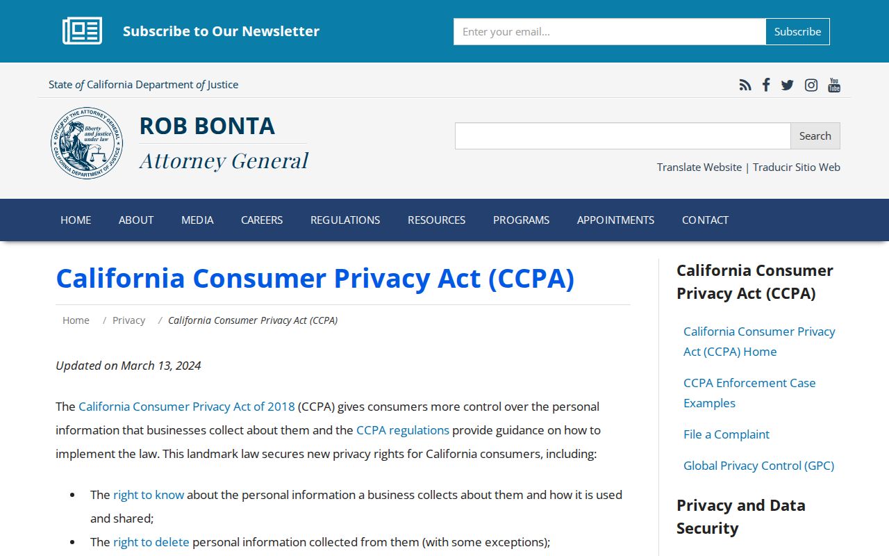
Privacy correction or opt-out questions belong with the business or record custodian that controls the data. Public availability is not permission to republish a person’s household details.